Cracow, Poland

Remote Sensing and Geo Informatics

Master's
Table of contents
side-view-woman-using-tablet

Remote Sensing and Geo Informatics at AGH

Language: EnglishStudies in English
Subject area: computer science
Kind of studies: full-time studies
  • Description:

  • pl

Test: check whether Remote Sensing and Geo Informatics is the right major for you!

military-it-professional-gathers-intelligence-from-world-map-projection

Answer all questions to see if Remote Sensing and Geo Informatics (Master's) is the right fit for you!

1. Are you passionate about acquiring, processing, and interpreting spatial data from satellites, drones, or other remote sensors?

2. Do you want to develop skills in geospatial analysis, GIS systems, and integrating multi-source spatial datasets?

3. Are you interested in applying remote sensing to environmental monitoring, urban planning, agriculture, or disaster response?

4. Are you willing to work with spatial machine learning, classification, and change detection techniques?

5. Do you believe a two-year master’s degree will significantly enhance your ability to derive actionable insights from geospatial data?

6. Are you interested in working with geospatial data infrastructures, spatial databases, and cloud-based mapping platforms?

7. Do you want to build competence in ensuring spatial data quality, uncertainty assessment, and metadata standards?

8. Are you prepared to collaborate with environmental scientists, urban planners, developers, and policymakers to apply geospatial insights?

9. Are you excited by emerging trends like spatial AI, real-time geospatial intelligence, and digital twins of geographic systems?

10. What motivates you most to pursue a master’s in Remote Sensing and Geo Informatics?

Definitions and quotes

Informatics
Informatics is a branch of information engineering. It involves the practice of information processing and the engineering of information systems, and as an academic field it is an applied form of information science. The field considers the interaction between humans and information alongside the construction of interfaces, organisations, technologies and systems. As such, the field of informatics has great breadth and encompasses many subspecialties, including disciplines of computer science, information systems, information technology and statistics. Since the advent of computers, individuals and organizations increasingly process information digitally. This has led to the study of informatics with computational, mathematical, biological, cognitive and social aspects, including study of the social impact of information technologies.
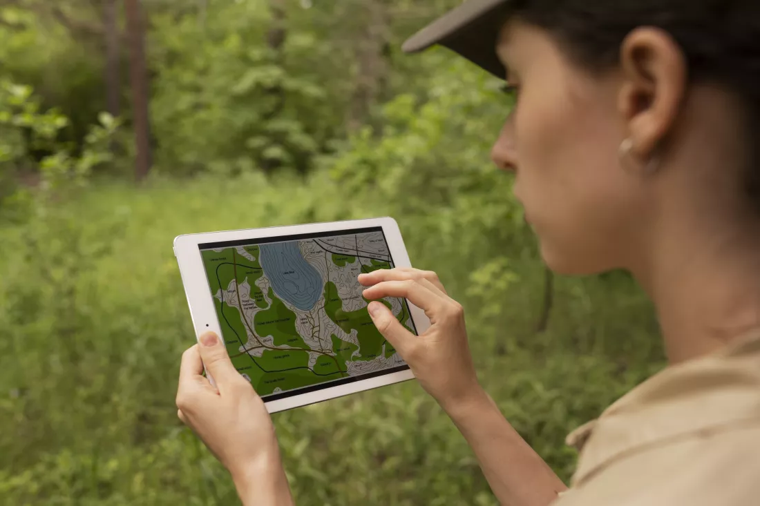
Remote Sensing
Remote sensing is the acquisition of information about an object or phenomenon without making physical contact with the object and thus in contrast to on-site observation. Remote sensing is used in numerous fields, including geography, land surveying and most Earth Science disciplines (for example, hydrology, ecology, oceanography, glaciology, geology); it also has military, intelligence, commercial, economic, planning, and humanitarian applications.

Contact:

30 Mickiewicza Av.
30-059 Krakow
Centre for International Students

Regular studies
P: +48 12 617 50 92
P: +48 12 617 46 15
F: +48 12 617 52 39
E: international.students@agh.edu.pl

Exchange programmes
P: +48 12 617 52 37
P: +48 12 617 52 38
F: +48 12 617 52 39
E: exchange@agh.edu.pl
Privacy Policy