

The Master's programme in Remote Sensing and Geo Informatics at AGH University of Krakow focuses on using remote sensing and geoinformatics technologies in spatial data analysis. It is designed for graduates of both engineering and bachelor's degrees who want to acquire, analyse and interpret data from satellites, aircraft, drones and other sensors.
Teaching is organised in large blocks rather than many small separate subjects. Only about five weeks of classes take place live at the university, most classes can be conducted remotely, and the work is mainly workshops and group projects – traditional lectures are kept to a minimum.
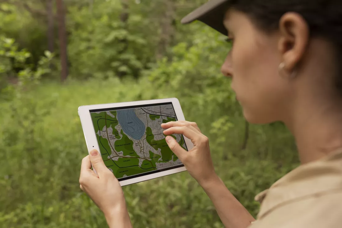
You learn to process and analyse multispectral, hyperspectral, thermal and radar images, interpret land cover and land use changes, environmental transformations and ecological and geological processes, and use AI and machine learning to analyse large geospatial datasets and produce models, forecasts and thematic maps.
You work with data and tools such as:
Practical experience comes from research projects, internships in companies and institutions related to remote sensing and geoinformatics, workshops and industry conferences – and from collaboration with experts in the field.
Graduates are prepared to work as remote sensing and geoinformatics specialists in environmental protection and monitoring, spatial and urban planning, crisis management, agriculture, energy, transport and scientific research. They can apply spatial data analysis to real-world problems, support decisions on natural resource management and present their results in graphical and interactive form.
As of the 2026/27 admissions, based on the programme page at rekrutacja.agh.edu.pl.